


The Met Office have issued an urgent 14-hour yellow weather warning for thunderstorms have been issued for parts of England and Wales as thunderstorms are set the hammer the English coastline.
The warning is in place from 5pm to 7am tomorrow, as thunderstorms “may bring impacts from flooding, lightning or hail overnight”.
Areas affected include the East Midlands, East of England, London and South East of England and Yorkshire and Humber.
Forecasters said: “An area of heavy, thundery rain is expected to develop across France this afternoon and then run north across or close to parts of southeast and east England overnight.
“While there is a chance that the rain will remain offshore in the North Sea, it is more likely than not to affect at least parts of the highlighted area, which could see frequent lightning, hail and strong, gusty winds in addition to heavy rain.
“Some places may receive 30-50mm of rain, much of this falling in less than three hours, with a lower chance of 50-75mm in a few spots.
“There is a lot of uncertainty in the development and track of this weather system, but impacts currently look most likely in the north of the warning area later in the night, with clearer, drier conditions following from the south.”
The warning follows an existing yellow weather alert in place from 5am to 10pm today, extending from as far as Keswick, Cumbria to Lydd, Kent, which could see significant rainfall over several hours.
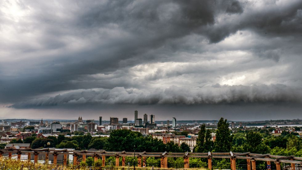
The Met Office have advised those living within the warning zone to check if your location is at risk of flash flooding, and to consider preparing a flood plan and an emergency flood kit.
Advice reads: “Prepare to protect your property and people from injury. Before gusty winds arrive, check to ensure moveable objects or temporary structures are well secured. Items include: bins, garden furniture, trampolines, tents, gazebos, sheds, and fences.
“Give yourself the best chance of avoiding delays by checking road conditions if driving, or bus and train timetables, amending your travel plans if necessary.
“People cope better with power cuts when they have prepared for them in advance. It’s easy to do; consider gathering torches and batteries, a mobile phone power pack and other essential items.”
LATEST DEVELOPMENTS
- Thousands of London commuters face disruption as travellers steal part of railway track
- Thirty-three Britons among more than 1,500 missing after devastating Nepal flash floods
- Council row erupts over plans to build giant warehouses in the heart of small town
Those who find themselves outside during thunder and lightning are urged to protect themselves by finding a safe enclosed shelter (such as a car).
“Do not shelter under or near trees, or other structures which may be struck by lightning. If you are on an elevated area, move to lower ground”, forecasters said.
Met Office Chief Forecaster Steve Willington said: “On Thursday, slow-moving heavy and thundery rain may bring prolonged rainfall to some areas, increasing the risk of localised impacts.
“There remains some uncertainty around where the heaviest rain will fall, so it is important to keep up to date with the latest forecast and warnings.”

Unsettled conditions may continue into Friday and the weekend, forecasters claim, with further showers or longer spells of rain “possible at times, alongside some drier and brighter periods”.
The warnings come as Britain reaches the end of its fifth heatwave of the summer, with temperatures soaring above 38C in London on the hottest day of the year.
While parts of the country have recently experienced thunderstorms and heavy rainfall, water companies say the amount has not yet been enough to reverse the impact of months of unusually dry weather.
Nearly three-quarters of England and the whole of Wales are currently facing drought conditions, placing further pressure on reservoirs, rivers and groundwater supplies.
Our Standards:
The GB News Editorial Charter

