


Yellow warnings for thunderstorms have been issued for parts of England and Wales this week as warm and humid conditions bring a chance of heavy showers, thunderstorms and longer spells of rain.
The Met Office has forecast “significant” rainfall and thunderstorms throughout today and tomorrow, following a prolonged period of insufficient rainfall – placing much of the UK in drought conditions.
Many areas are expected to see continued warm and dry weather, with temperatures widely reaching the mid to high 20s across England and Wales.
However, showers and thunderstorms across southwestern parts are expected to become more widespread, developing overnight into this morning.
The long awaited arrival of rainfall is said to bring “sometimes intense downpours, frequent lightning and localised disruption”, according to the Met Office.
Into tomorrow, widespread slow-moving heavy and thundery rain is expected to spread north across the UK, bringing “the potential for prolonged periods of rainfall in some areas”.
These areas could see significant rainfall over several hours, increasing the likelihood of localised impacts of transport and infrastructure.
Met Office Chief Forecaster Steve Willington said: “As we move into Wednesday there is a growing risk of heavy rain and thunderstorms, with warm and humid air helping to trigger heavy showers and thunderstorms.
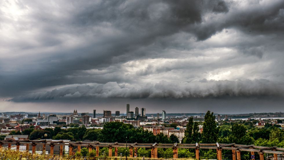
“Some places could see significant amounts of rain falling in a short period of time, bringing the potential for localised flooding, travel disruption and frequent lightning.
“On Thursday, slow-moving heavy and thundery rain may bring prolonged rainfall to some areas, increasing the risk of localised impacts.
“There remains some uncertainty around where the heaviest rain will fall, so it is important to keep up to date with the latest forecast and warnings.”
Unsettled conditions may continue into Friday and the weekend, forecasters claim, with further showers or longer spells of rain “possible at times, alongside some drier and brighter periods”.
LATEST DEVELOPMENTS
- Dolly Parton dies at 80: Country icon’s cause of death revealed as music world erupts in tribute
- Labour urged to cut prison recalls in bid to free up jail spaces
- Energy bills CONFIRMED to rise this winter in major Ofgem price cap announcement
The warnings come as Britain reaches the end of its fifth heatwave of the summer, with temperatures soaring above 38C in London on the hottest day of the year.
While parts of the country have recently experienced thunderstorms and heavy rainfall, water companies say the amount has not yet been enough to reverse the impact of months of unusually dry weather.
Nearly three-quarters of England and the whole of Wales are currently facing drought conditions, placing further pressure on reservoirs, rivers and groundwater supplies.
More than 10 million households could face hosepipe restrictions until the end of the year, as Thames Water bosses insisted the measures are needed to protect the environment and allow water resources to recover.

Nevil Muncaster, the company’s strategic water resources director, told Times Radio that demand for water had surged during the summer heatwaves.
“There’s been a huge demand on top of our normal supplies,” he said when discussing the impact of the recent hot weather.
Asked when customers could expect the restrictions to be lifted, Mr Muncaster said it was “realistically” likely to be towards the end of the year.
“That’s something we need to make sure we do, just to protect the environment,” he said.
Our Standards:
The GB News Editorial Charter


